
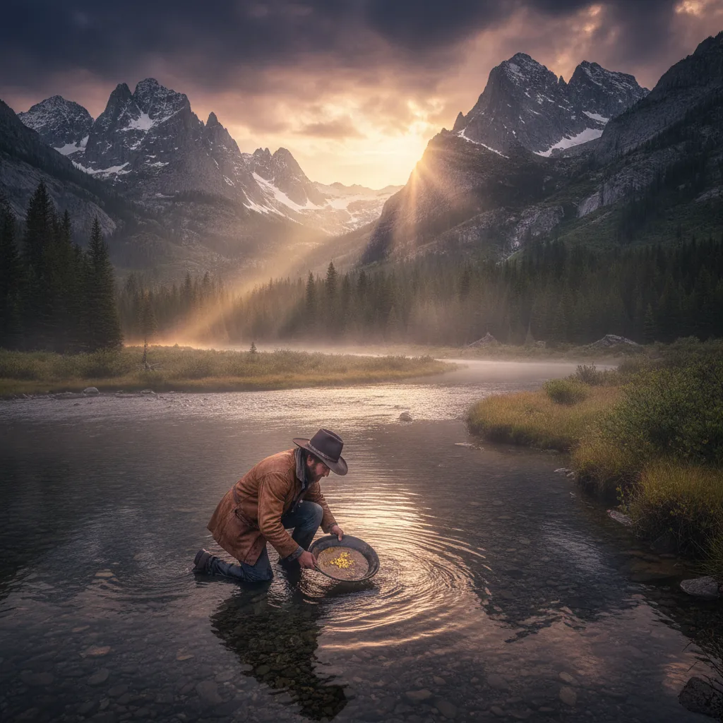
Consider a single ounce of gold, roughly the size of a sugar cube, dense enough that it seems to pull at your palm like a small planet. Now consider the ground it came from. In the American West, that ground is more likely than not to belong to no one in particular and to everyone at once — a peculiar category of ownership we call the public domain. The gold that sits in the gravel of a nameless creek in the Sierra Nevada foothills, or in the desiccated washes of the Sonoran Desert, or in the black-sand benches of interior Alaska, is, in a real and legal sense, part of a national estate held in trust for the citizenry. It is a strange and durable idea, and it is older than the light bulb.
The United States government administers about 640 million acres of land, according to the Congressional Research Service, which comes to roughly 28 percent of the country's total land area. Four agencies hold nearly all of it. The Bureau of Land Management oversees about 245 million acres. The U.S. Forest Service holds around 193 million. The Fish and Wildlife Service and the National Park Service hold most of the rest. On some of that land you may lawfully swing a metal detector and pan a creek. On some of it you may not so much as pocket a pretty pebble. Knowing the difference is the whole game.
A Law From the Age of the Telegraph
To understand where you can prospect, you have to reckon first with a law signed by Ulysses S. Grant. The General Mining Act of 1872 is one of those pieces of legislation that ought to have died a hundred times over and instead simply refuses. It declares, in language that still governs the ground, that "all valuable mineral deposits in lands belonging to the United States . . . shall be free and open to exploration and purchase." Free and open. Those three words are the reason a person today can walk onto a great deal of BLM and Forest Service land and search for gold without asking anyone's permission.
The Act was written for a world of pickaxes and mules. It was designed to encourage settlement of the West by giving hardrock miners a way to acquire title to mineral-bearing land, and it has been amended and hemmed in and cursed by generations of reformers, but its central principle survives. The BLM, which is the successor to the old General Land Office, still administers the mining laws across most of its holdings. The distinction that matters to a recreational prospector is one the agency draws carefully: between casual use, the location of a mining claim, and full-scale operations requiring notice or a plan.
The BLM describes recreational or "casual use" prospecting as activity that causes only negligible disturbance to the land — panning, sluicing with a hand-fed device, metal detecting, and the collection of small amounts of mineral specimens. Casual use requires no claim, no permit, and no fee. It is, in the truest sense, a public right. When your activity crosses into something that disturbs the surface in a meaningful way — a motorized dredge, an excavator, a serious sluice run — you have left casual use behind and entered a regime of notices and plans of operations, governed by the surface management regulations at 43 CFR 3809.
The BLM: The Prospector's Best Country
If you were to draw a map of where an American may most freely search for gold, you would shade in the great tan expanses of BLM land across Nevada, Arizona, California, Oregon, and Idaho. Nevada alone contains something like 48 million acres of BLM-managed land — the agency manages roughly 63 percent of that entire state — and Nevada is, not coincidentally, the largest gold-producing state in the nation. The U.S. Geological Survey tracks the numbers, and they are staggering: Nevada's mines, most of them straddling or surrounded by public land, account for the overwhelming majority of domestic gold production.
On BLM land that is open to mineral entry — and most of it is — a recreational prospector operating under casual use is on firm legal footing. You may pan the gravels of a wash. You may run a small hand sluice. You may sweep a detector across a hillside of desert varnish looking for the whisper of a nugget. The BLM's own guidance on recreational mineral collection confirms that these low-impact activities are generally permissible without authorization. What you may not do is fill your holes badly, dam a stream, cut a road, or leave the place looking as though a war was fought there. The obligation, as the regulations put it, is to prevent "unnecessary or undue degradation."
There is a catch, and it is an important one: an existing mining claim. Under the 1872 Act, any citizen may stake a claim on open public land where they have discovered a valuable mineral deposit, and a valid claim gives the claimant exclusive rights to the minerals within it. That patch of desert that looks utterly free may in fact be someone's lode or placer claim, and detecting or panning within it without permission is trespass on their property interest, even though the land itself remains federal. The prudent prospector checks. Claim records are maintained in the BLM's General Land Office records and, more usefully for active claims, in the agency's Mineral & Land Records System (MLRS), along with the county recorder's office where the claim was filed.
The Forest Service: Open, With Conditions
The 193 million acres of the National Forest System present a subtler picture. Most national forest land is also open to mineral entry under the 1872 Act, and the Forest Service, like the BLM, permits casual-use prospecting. Its surface regulations live at 36 CFR 228, and the agency's minerals and geology program administers them. The essential logic is identical to the BLM's: activities that cause no significant surface disturbance generally require no notice, while anything that does may require a notice of intent or an approved plan of operations.
But national forests carry their own overlay of complications. Many forests contain congressionally designated Wilderness areas, which are generally closed to new mineral entry under the Wilderness Act of 1964. Wild and Scenic River corridors, developed recreation sites, and administrative withdrawals all carve exceptions into otherwise open ground. And a great many gold-bearing streams in the West — the ones that saw the original rushes — are within national forests where the surrounding country is dense with pre-existing claims. Some of the most famous prospecting on Forest Service land happens through the clubs that hold claims and let members work them, a legal arrangement that neatly sidesteps the trespass problem.
The Bright Line: National Parks
Now for the clearest rule in all of American prospecting law, the one that admits no ambiguity and forgives no ignorance: you may not prospect, pan, dredge, or metal detect for gold in a unit of the National Park System. Not in Yosemite, whose granite walls overlook country where the Gold Rush was born. Not in Death Valley, whose borax and gold ghost towns still stud the hills. Not in Denali, not in the Grand Canyon, not in any of the more than 400 units the Park Service administers.
The prohibition is explicit. Federal regulations at 36 CFR 2.1 forbid the possession, destruction, or removal of natural resources — including minerals — from park lands, and 36 CFR 2.22 and related provisions treat the mere possession of a metal detector in a park as grounds for citation in most circumstances. The Park Service's own guidance on metal detecting states the policy plainly: metal detecting is prohibited in national parks. A ranger who finds you swinging a coil in Death Valley is not going to debate the finer points of mineral law with you. This is a place where the rules are not made to be tested.
The history behind the bright line is worth pausing on. When the Mining in the Parks Act of 1976 passed, it closed the National Park System to new mining claims and set in motion the phaseout of existing operations within park boundaries. The parks were to be preserved "unimpaired for the enjoyment of future generations," and a nation that had watched hydraulic mining tear apart entire watersheds understood that the language meant what it said. The gold in a national park stays in the national park.
The Long Shadow of Hydraulic Mining
To understand why the law grew so many teeth, it helps to remember what unregulated mining did to the land. In the decades after the 1849 rush, California miners turned to hydraulic mining — blasting entire hillsides apart with high-pressure water cannons called monitors to wash the gold-bearing gravels down through sluices. The technique moved staggering quantities of earth. It also sent an estimated 1.5 billion cubic yards of debris — sand, gravel, and toxic sediment — coursing down the rivers of the Sacramento Valley, burying farmland, choking navigation, and raising riverbeds so high that towns flooded.
The reckoning came in 1884, in a federal courtroom, in a case called Woodruff v. North Bloomfield Gravel Mining Company. Judge Lorenzo Sawyer issued what is often called the Sawyer Decision, effectively enjoining the discharge of hydraulic mining debris into the rivers. It was one of the first significant environmental rulings in American history, and it ended large-scale hydraulic mining in California almost overnight. The scars remain visible today at places like Malakoff Diggins, now a California State Historic Park, where a canyon carved by water cannons stands as a monument to what happens when the search for gold runs unchecked. The modern regulatory architecture — the plans of operations, the reclamation bonds, the prohibition on stream degradation — descends directly from that century-and-a-half-old catastrophe.
State Lands and the Golden State's Own Rules
Below the federal layer sits a patchwork of state-owned land, and here the rules vary enormously from state to state. California is instructive both because it is the historical heart of American gold and because its rules have grown notably restrictive. The California State Parks system generally prohibits the removal of natural materials, including gold, from park units — though a handful of parks, most famously Marshall Gold Discovery State Historic Park at Coloma, where James Marshall first spotted gold in the American River in 1848, permit recreational panning in designated areas as an interpretive experience. It is a nice irony: at the very spot where the Gold Rush began, you may pan, but only under the watchful management of the state.
California also imposed a moratorium on suction dredge mining that has reshaped the legal landscape for in-stream prospecting. Concerns over mercury — a legacy contaminant left in the sediments by nineteenth-century mining — and over impacts to fish led the state to suspend the issuance of suction dredge permits, a policy litigated for years and detailed by the California Department of Fish and Wildlife. The upshot for a modern prospector is that motorized dredging in California waters is, for practical purposes, off the table, while pan-and-shovel methods on open federal land remain generally lawful. In other states — Oregon, Alaska, and others — the rules on dredging and in-stream work differ, and they change, and they must be checked fresh each season.
Reading the Overlay: How to Know Where You Stand
Here is the practical difficulty that ties all of this together. You are standing in a desert wash or a forested drainage, and the ground beneath you carries not one status but a stack of them. It is federal or state or private. If federal, it is BLM or Forest Service or Park or Refuge. If BLM or Forest Service, it is open to mineral entry or withdrawn. If open, it is unclaimed or someone's active claim. It may be within a Wilderness boundary, a Wild and Scenic corridor, a recreation area, an ACEC — an Area of Critical Environmental Concern — or a wildlife closure. Each of these layers carries its own rule, and they do not announce themselves with signs.
The federal government publishes the underlying data. The BLM's geospatial and surface management maps, the Forest Service's motor vehicle use maps and ownership layers, and the USGS's topographic and mineral resource databases through the Mineral Resources Data System all exist in the public domain. So do the BLM's claim records. The trouble is that they live in different places, in different formats, and reconciling them in the field — where cell service is often a rumor — is the enduring headache of the modern prospector.
This is one of the genuine reasons an app can earn its place in a prospector's kit. A tool like Gold Prospector gathers land-status and claim information alongside the geological and historical data that point toward gold, so that the question "may I legally dig here?" and the question "is there anything here worth digging for?" can be asked in the same breath, in the same place, on the same screen. No app substitutes for confirming a boundary with the managing agency and the county recorder before you sink a shovel — the responsibility for knowing where you stand is always the prospector's own — but having the layers assembled in your hand in the field, rather than scattered across a dozen government websites you visited last week, is the difference between a confident day and a nervous one.
The Ethic of the Commons
There is a temptation, when reading law like this, to treat the public lands as a puzzle to be solved — a set of gates, some open, some locked, and the trick is knowing which is which. But that misreads the thing entirely. The 640 million acres are not an obstacle course. They are an inheritance, and a rare one. Most countries vest their subsurface minerals entirely in the crown or the state, and the ordinary citizen has no right whatever to walk out and search for gold. The American arrangement, born in the rough egalitarian ferment of the nineteenth-century frontier, is genuinely unusual: it holds that the mineral wealth of the public domain belongs, in a meaningful sense, to the people who might go and find it.
That right survives only so long as the people who exercise it do so with care. Every hole filled, every bank left intact, every scrap of trash carried out, every stream left running clear is a small payment against the continued existence of the privilege. The BLM's phrase — "unnecessary or undue degradation" — is not merely a regulatory standard. It is the whole ethic compressed into four words. The hydraulic miners of the 1870s degraded the commons so badly that the law came down on them like Judge Sawyer's gavel, and the descendants of that ruling are the rules we live under now. The recreational prospector who pans a creek and leaves it as he found it is, whether he knows it or not, defending the very right he is exercising.
So go and search. The country is vast, the gold is real, and the law — that stubborn old law from the age of the telegraph — still says that the valuable mineral deposits in the lands belonging to the United States are free and open. Learn the layers. Respect the claim you cannot see. Stay out of the parks. Fill your holes. And carry with you, into whatever wash or drainage or forested bench you choose, the understanding that the ground you are standing on is not merely public — it is a trust, and you are one of its keepers.
Sources & Citations
- Congressional Research Service — Federal Land Ownership: Overview and Data (R42346)
- Bureau of Land Management — Public Land Statistics
- U.S. Forest Service — About the Agency
- National Park Service — The National Park System
- BLM — Mining and Minerals / General Mining Act of 1872
- BLM — Mining Claims and Casual Use
- Electronic Code of Federal Regulations — 43 CFR Part 3809 (Surface Management)
- U.S. Geological Survey — Gold Statistics and Information
- BLM — Recreational Mineral Collection
- BLM — General Land Office Records
- BLM — Mineral & Land Records System (MLRS)
- Electronic Code of Federal Regulations — 36 CFR Part 228 (Forest Service Minerals)
- U.S. Forest Service — Minerals and Geology Management
- Wilderness.net — The Wilderness Act of 1964
- Electronic Code of Federal Regulations — 36 CFR 2.1 (Preservation of Natural Resources)
- Electronic Code of Federal Regulations — 36 CFR 2.22 (Property)
- National Park Service — Metal Detecting Policy
- National Park Service — Mining in the Parks Act of 1976
- USGS — Hydraulic Mining in the Sierra Nevada: A Tarnished Legacy
- California State Parks
- California State Parks — Marshall Gold Discovery State Historic Park
- California Department of Fish and Wildlife — Suction Dredge Permitting
- BLM — Geospatial Services and Data
- USGS — Mineral Resources Data System